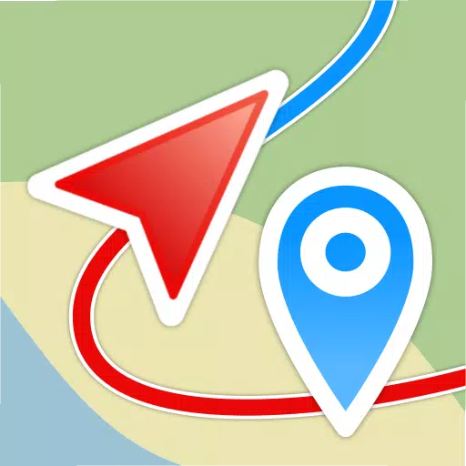
Embark on your adventures with confidence using Geo Tracker, the ultimate GPS tracking app designed for outdoor enthusiasts and travelers alike. Whether you're exploring new terrains or navigating familiar paths, Geo Tracker is your go-to companion for recording GPS tracks of your trips, analyzing detailed statistics, and sharing your journeys with friends. Compatible with both Open Street Maps and Google, this app caters to all your mapping needs.
Geo Tracker offers a range of features to enhance your outdoor experiences:
- Navigate back to your starting point in unfamiliar areas without the risk of getting lost.
- Share your routes with friends, making it easy for them to follow in your footsteps.
- Import routes from GPX, KML, or KMZ files, allowing you to utilize paths created by others.
- Mark significant or intriguing points along your journey for future reference.
- Locate specific points on the map using known coordinates.
- Showcase your achievements with vibrant screenshots on social media platforms.
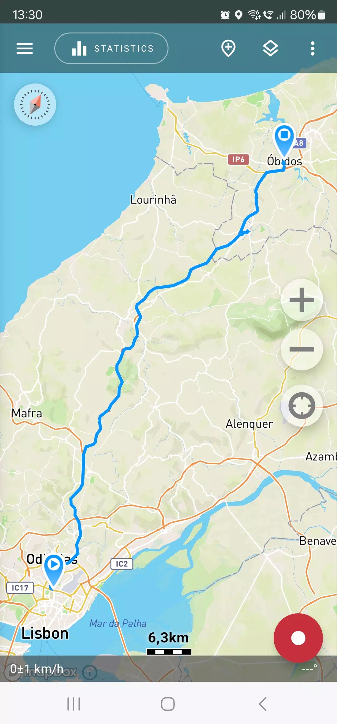
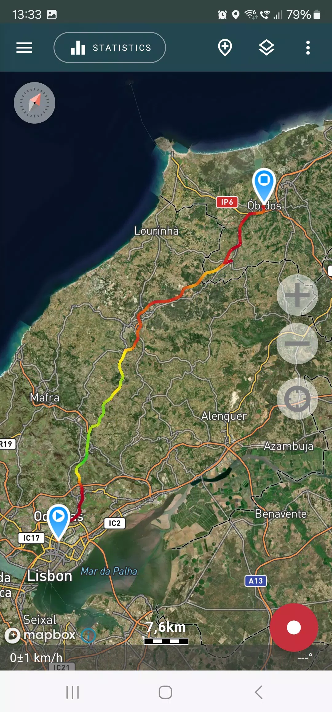
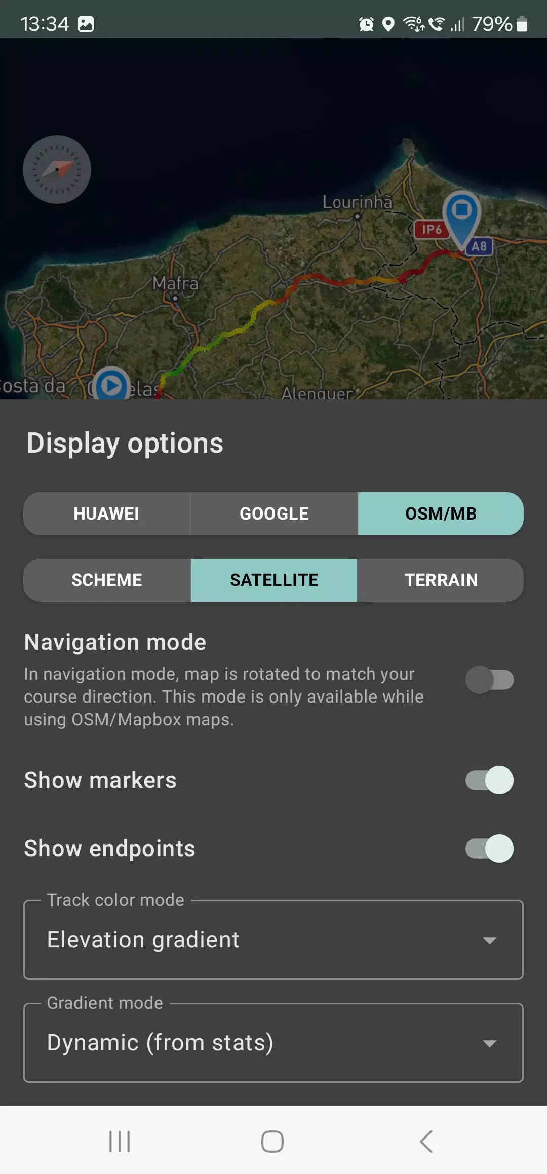
Within the app, you can view your tracks and the surrounding landscape using detailed schemes from OSM or Google, as well as high-resolution satellite imagery from Google or Mapbox. This ensures you always have the most comprehensive map view, no matter where your adventures take you. Maps viewed are cached on your device, allowing for offline access, particularly beneficial with OSM maps and Mapbox's satellite imagery. To record and analyze track statistics, only a GPS signal is required; internet connectivity is needed solely for downloading map images.
Enhance your driving experience with navigation mode, which automatically rotates the map in the direction of travel, simplifying your journey. Geo Tracker is also optimized for background recording, though this may require additional system settings on some devices (instructions are available within the app). The app's power consumption is efficiently managed, typically lasting a full day of recording on a single charge. An economy mode is also available in the settings for further optimization.
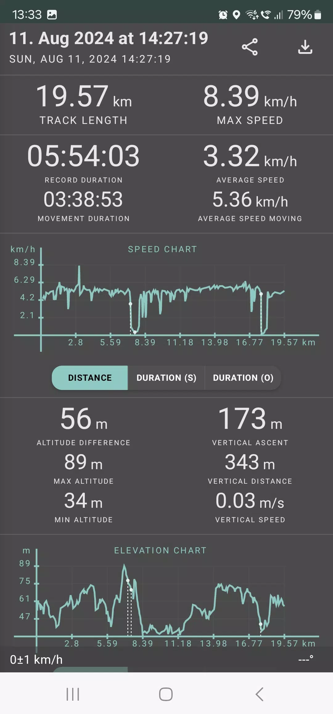
Geo Tracker provides in-depth statistics on your tracks, including:
- Distance traveled and recording duration.
- Maximum and average speeds.
- Time and average speed while in motion.
- Minimum and maximum altitude, as well as altitude difference.
- Vertical distance, ascent, and vertical speed.
- Minimum, maximum, and average slope.
Additionally, detailed charts of speed and elevation data are available for a comprehensive analysis of your tracks.
Your recorded tracks can be saved in GPX, KML, and KMZ formats, making them compatible with popular applications such as Google Earth and Ozi Explorer. All data is stored locally on your device and is not transferred to any servers, ensuring your privacy. While the app does not rely on ads or personal data for revenue, you can support its development through voluntary in-app donations.
To overcome common GPS issues with your smartphone, consider these tips:
- Allow some time for the GPS signal to stabilize before starting your tracking.
- Restart your smartphone and ensure a clear view of the sky, avoiding obstructions like tall buildings or dense forests.
- Be aware that GPS reception can be affected by various factors such as weather, season, satellite positioning, and areas with poor GPS coverage.
- Activate the "Location" setting on your phone.
- Enable "Automatic date & time" and "Automatic time zone" in your phone's "Date & time" settings to prevent delays in finding the GPS signal due to incorrect time settings.
- Ensure airplane mode is turned off.
If these tips don't resolve your issues, try uninstalling and reinstalling the app. Keep in mind that Google Maps utilizes not only GPS data but also additional location data from nearby WLAN networks and mobile networks for improved accuracy.
For more solutions to common issues and answers to frequently asked questions, visit Geo Tracker's FAQ page.