The Sea Level Rise app empowers individuals to actively participate in mapping and documenting the impact of flooding in their communities, providing crucial data on sea level rise. This tool is essential for anyone living in or near low-lying coastal areas, where the effects of rising sea levels are increasingly evident. Our journey began in Hampton Roads, Virginia, where we've benefited immensely from the dedicated efforts of thousands of volunteers during our annual "Catch the King Tide" events. Developed by Wetlands Watch, the Sea Level Rise app is a pivotal step towards creating a more informed and connected community, better equipped to anticipate and manage the challenges posed by sea level rise.
By using the Sea Level Rise app, you can engage directly with this global issue. As a volunteer, you'll help gather vital street-level data that researchers and civic leaders need to understand and address the complexities of sea level rise. The app offers several key features:
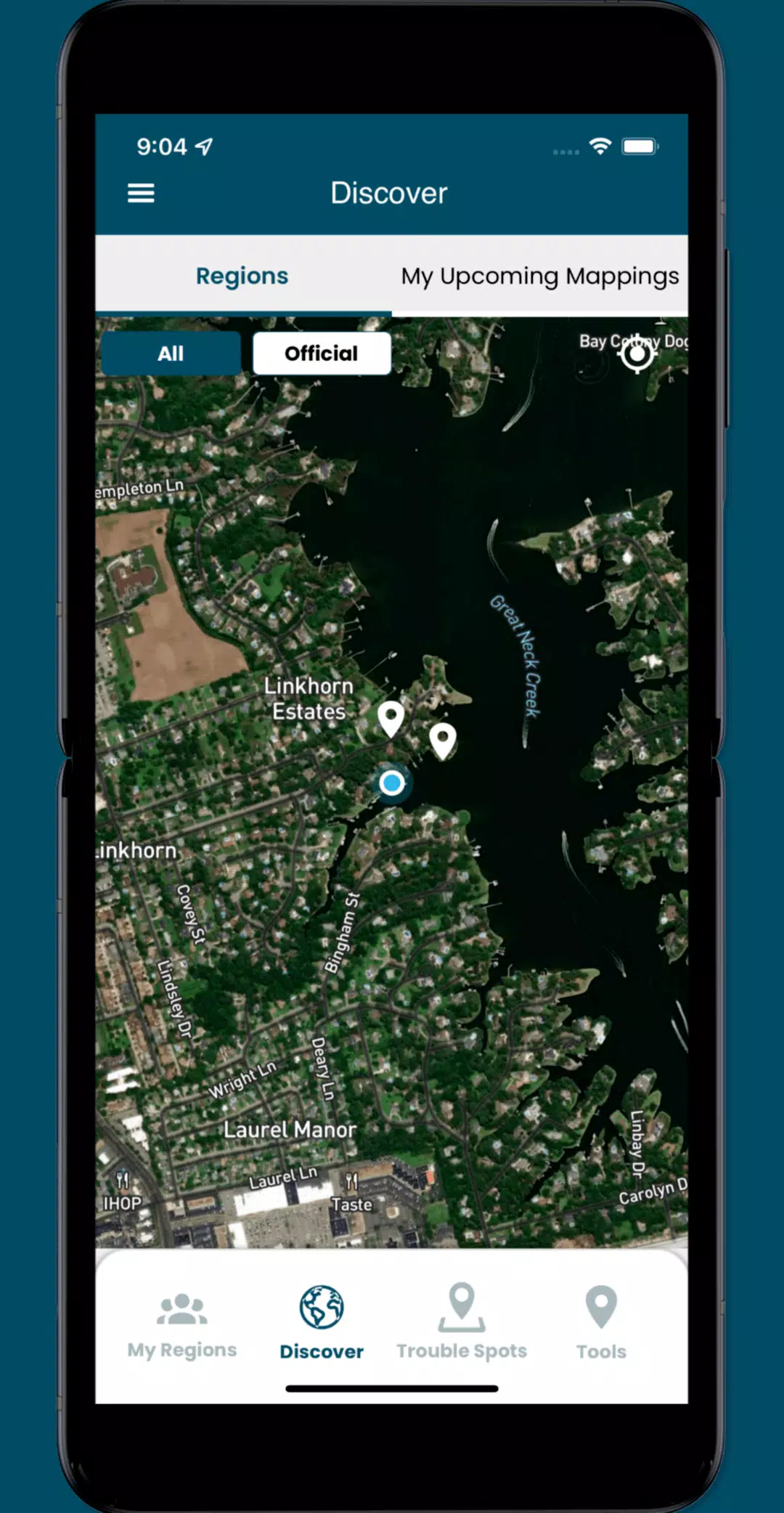
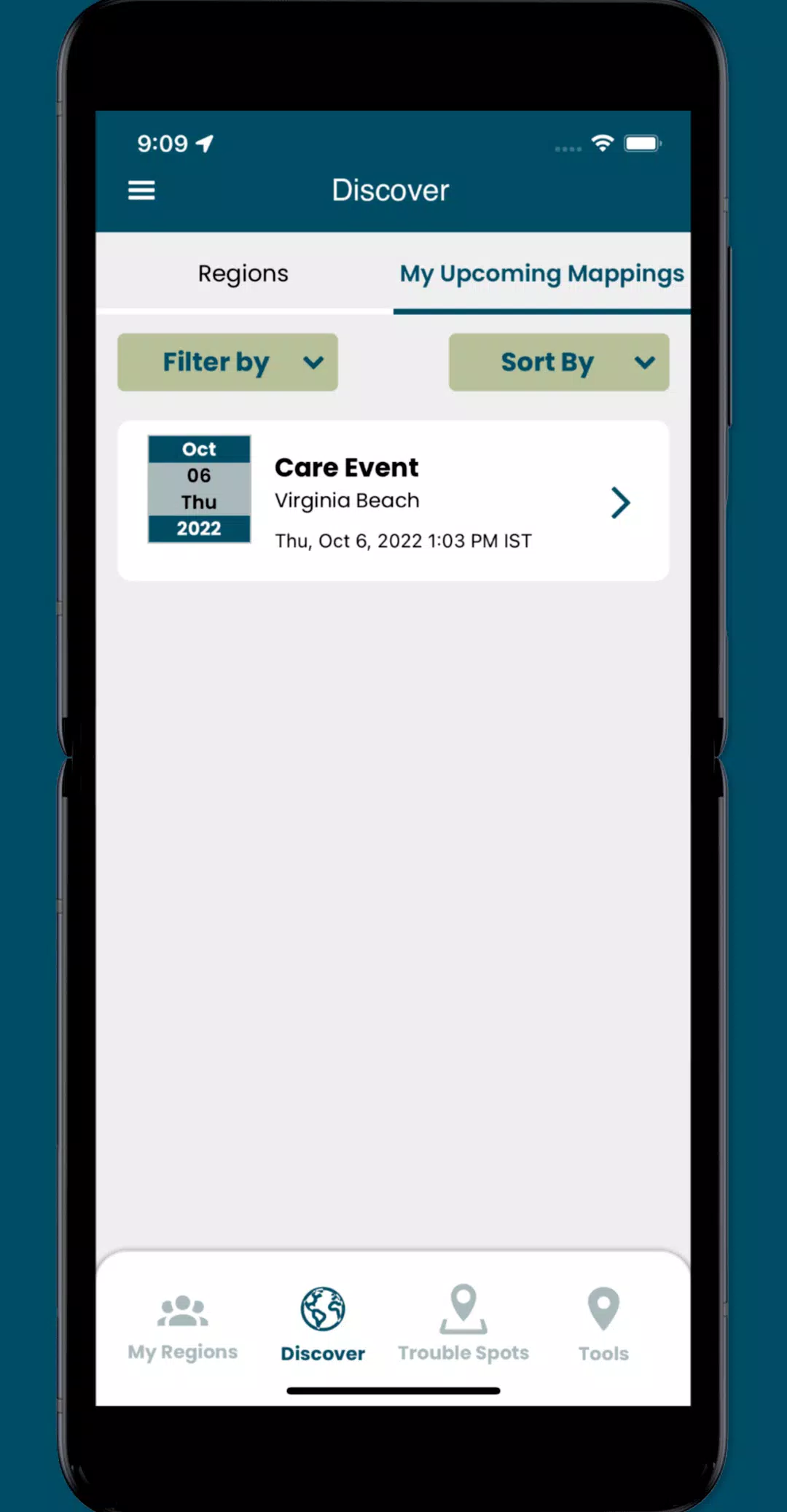
- Join crowd-sourcing events to collect localized data, filling gaps in research and policy-making.
- Identify and report "Trouble" spots where high water disrupts travel during adverse weather conditions.
- Capture and share images that document the real-time effects in your neighborhood.
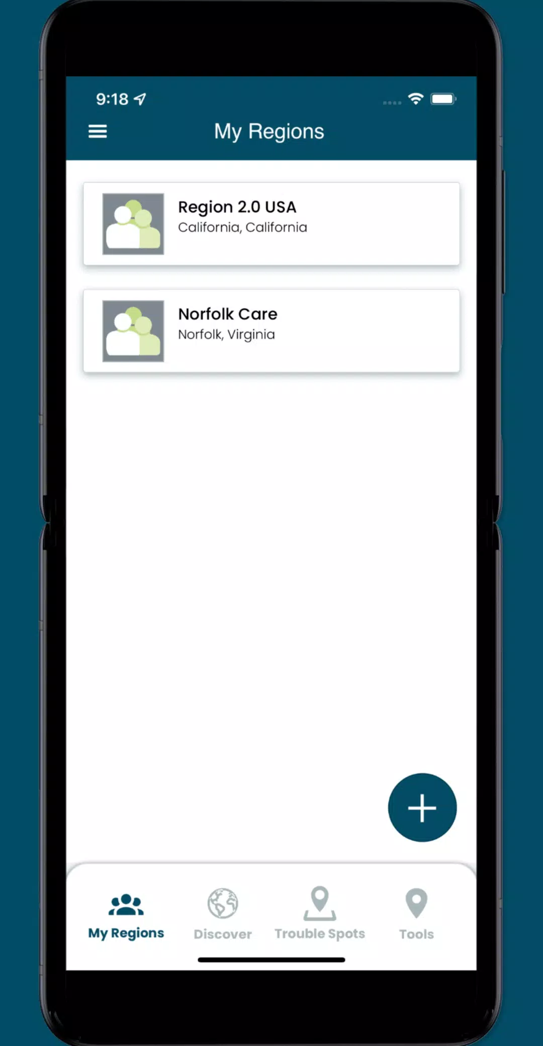
- Access designated collaboration spaces, or regions, to coordinate volunteer efforts and plan mapping activities.
What's New in Version 3.0.9
Last updated on Oct 19, 2024
Updates include:
- Minor UI enhancements for a smoother user experience.
- Resolution of several issues to improve app functionality.