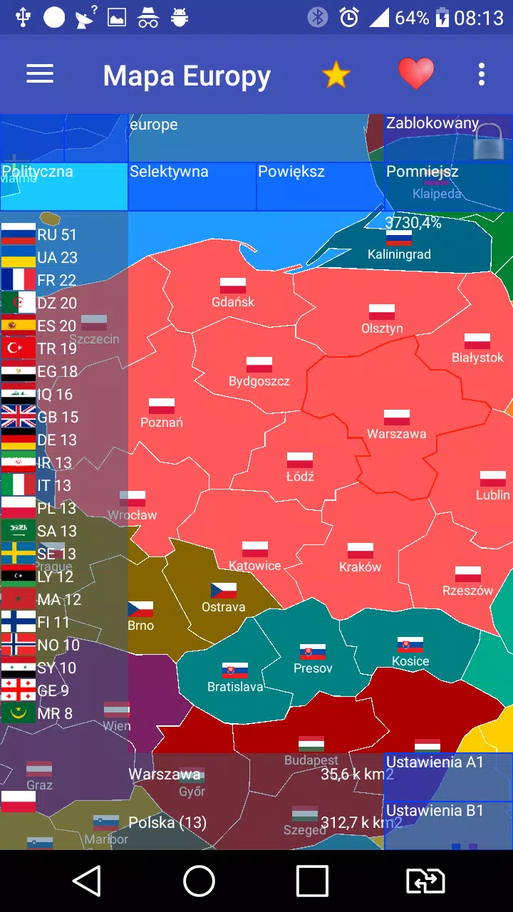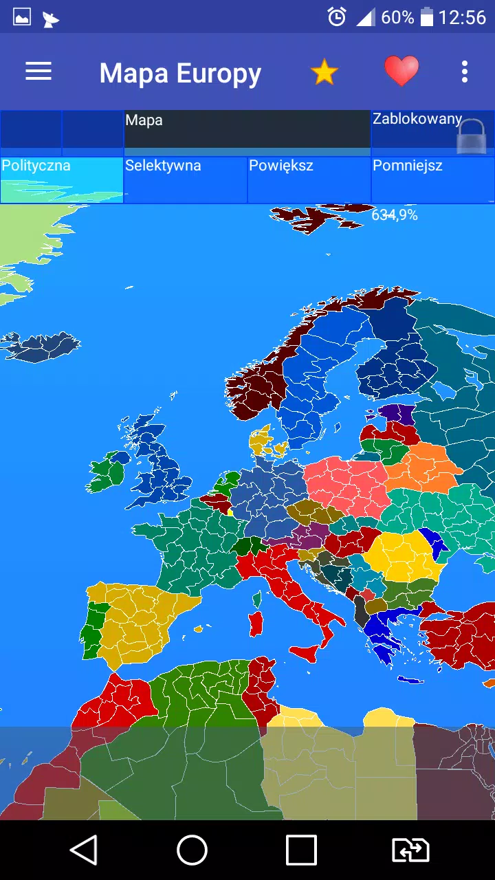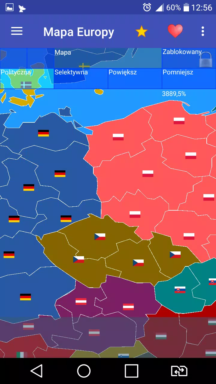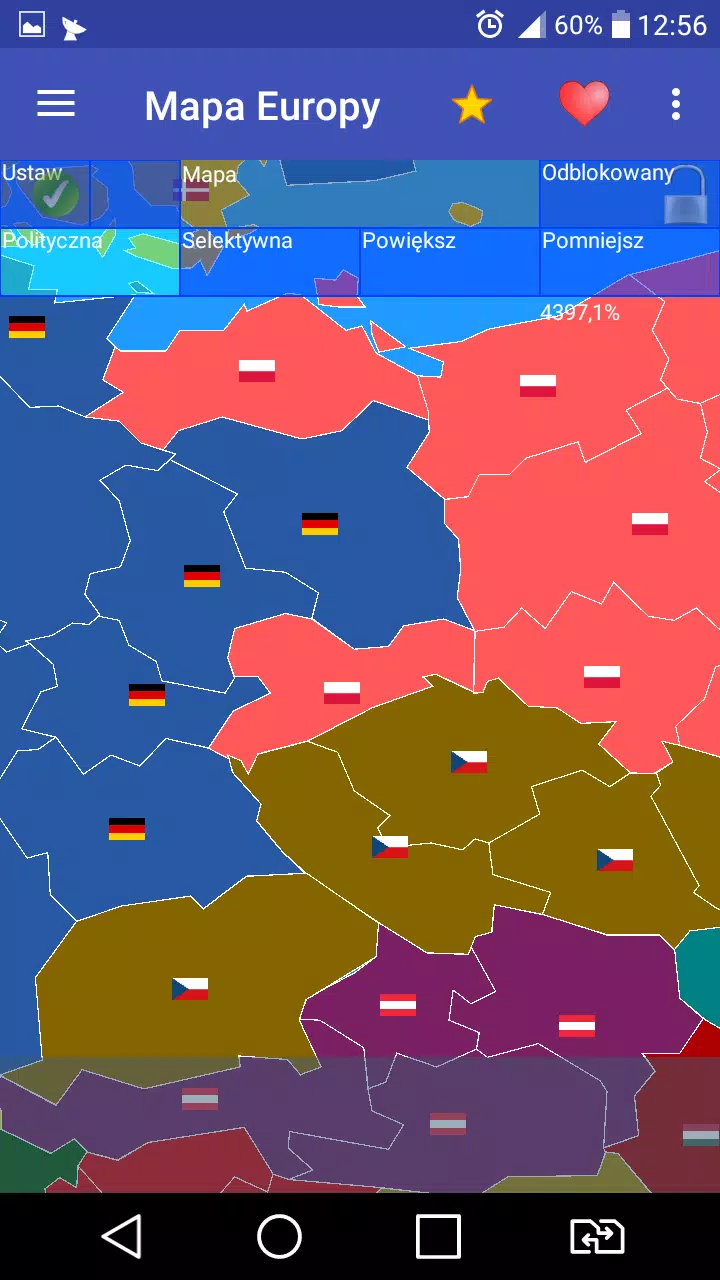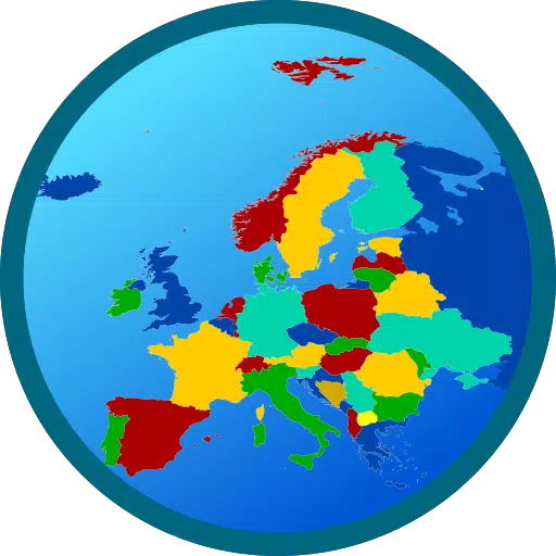
Creating a map of Europe with over 800 provinces is an ambitious and detailed project. Our app not only focuses on Europe but extends to include over 60 countries across Europe, Africa, and Asia, each represented with their respective flags. This comprehensive tool is designed to enhance your geographical knowledge while providing an engaging experience.
Key Features of Our App
Three Mapping Modes: Our application offers three distinct ways to interact with the map:
- Real Map: Experience a detailed, realistic representation of the regions.
- Clean Map: Enjoy a simplified version, perfect for a clearer view of boundaries and provinces.
- Expansion Simulation: Dive into a dynamic mode where you can simulate territorial expansions and changes.
Interactive Customization: In both the Real Map and Clean Map modes, users have the freedom to modify country affiliations, allowing for a personalized learning and exploration experience.
User-Friendly Design: Our app boasts a convenient and easy-to-navigate interface, making it accessible for users of all ages. Whether you're using it for educational purposes or just for fun, the app ensures a seamless experience.
PRO Versions: Currently, PRO versions are disabled, but we're always working to enhance and expand our offerings.
What's New in Version 1.59.1
Last updated on Jul 23, 2024
- Bug Fixes: We've addressed several bugs to improve the overall performance and user experience.
- New Language Added: French language support has been added, making our app more accessible to a broader audience.
We hope you enjoy exploring our detailed map of Europe and beyond. Be happy as you learn and play with our app!